Recreational Paths And Trails Along The SRP Canals
If you’ve ever looked for a safe and 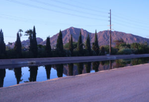 leisurely place to go for a walk or ride a bike without the risk of competing on busy streets with cars and trucks, consider the recreational paths and trails along the SRP canals. Throughout the valley Salt River Project (SRP) manages 131 miles canals that provide over 1 million acre feet of water annually to the Phoenix metro area.
SRP canal paths and trails provide valley residents miles to walk, jog or bike
The Salt River Project (SRP) manages 9 canal systems around the valley including the Consolidated canal, Arizona canal, Grand Canal, and Eastern 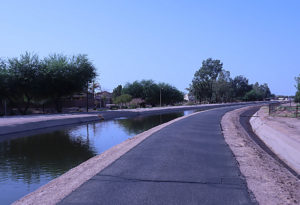 Canal among others. Many have recreational paved paths and feature trails or paths on both sides of the canals. These canals connect cities and towns and locations such as Tempe Town Lake, Scottsdale Fashion Square, down town Gilbert, community parks and recreation areas.
The best way to find out the location of the SRP canals is by going to SRP Canal Map.
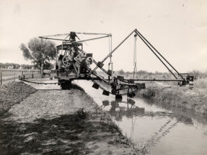
The canals date back to the early days of the Phoenix valley with construction dates of 1891 for the Consolidated Canal, 1878 for the Grand Canal or 1912 for the Western Canal, linking cities and towns such as Phoenix, Scottsdale, Peoria, Mesa, Gilbert, Chandler and Tempe
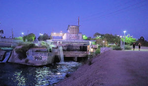 Maintenance in the early days was costly since heavy equipment was required to clean the canals of aquatic weeds and algae. Then in the late 1980’s, White Amur were introduced on a trial basis. After much success, White Amur were released into the entire SRP canal system in 2005. These fish native to China, eat over 2/3 of their body weight DAILY of weeds and algae.
To receive properties and even those close to these canals and be updated daily of new properties, click on Email me properties and describe what you’re looking for.
Related Blog Posts
Tubing Anyone – Discover the Salt River


